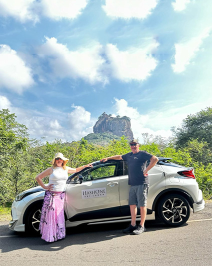
To More Inquiry
5% Off Your Next Trip. Hurry Up For your new Tour! Book Your Tour
You can reach Mannar on the A-30 road from Vavuniya and the A-14 from Medawachchiya, and few kilometers along the causeway. Talaimannar is a very famous place where you can see the ferry port. Before the war this ferry port was frequently used for travel to and from India (Rameshvaram port) by boat. Mannar is also famous for fish. You can see donkeys moving freely along the roads. There are Tourist Board approved Guest Houses, Banks, Police Stations and ATM facilities, too.
Population in Mannar district in 2012 was 99,051. There are 684 villages under five local government authorities.
This tree is believed to have been planted by Arabian Sailors in or around 1477. The circumference of the tree is 19.5m and height is 7.5m.
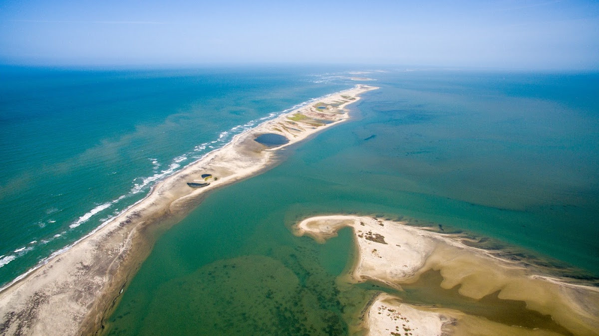
The sand dunes keep 'shifting' from one location to another; hence, the term 'dancing' islets. Natural ocean processes were visibly at play, in shifting and rolling the sand from one location to another. The series of islets
was reportedly passable on foot up to the 15th century until storms had deepened the channel it is said that some historical records found in India apparently state that Rama's Bridge was completely above sea level until it broke in a cyclone in 1480 A.D.
This Fort was built by the Portuguese in 1560 and taken over by the Dutch in 1658 and rebuilt; its ramparts and bastions are intact, though the interior is heavily destroyed.
The Palk Strait is a strait that lies between the Tamil Nadu state of India and Sri Lanka. It connects the Bay of Bengal with the Gulf of Mannar.
It is difficult for large ships to pass through the shallow waters and reels of the strait although fishing boats and small crafts carrying coastal trade have navigated the strait for centuries. Large ships must travel around Sri Lanka. Construction of a shipping canal through the strait was first proposed to the British government of India in 1860, and a number of commissions have studied the proposal up to the present day. This project is named the Sethusamudram Shipping Canal.
Port of Jambukola, identified as the present day Kankesanthural, served as the port to North India. According to the great chronicle Mahavansa, it was from Jambukola that the envoys of King Devanampiyatissa set sail to the Court of Emperor Asoka of India. Jambukola and Anuradhapura were connected by a highway.
Mahatittha Port, in present day Mannar area, is first mentioned in connection with the landing of Vijaya's second wife and undoubtedly this port was known to mariners and merchants of India even in the pre-Aryan era.
The Sri Lanka Navy has initiated to operate boat tours for the public to visit the bridge and sand banks. Whenever the weather permits, departure from the old pier at Thalaimannar to the sand banks, will be operated from 8 a.m. to 4 p.m. every day. The journey is 15 km from the mainland to the bridge.
This place is looked after by security forces as there is no resident Buddhist community here. The temple is located beside the Thiruketheeswaram Kovil. There are many archaeological ruins at this spot which are related to the temple. Excavations are yet to be done.
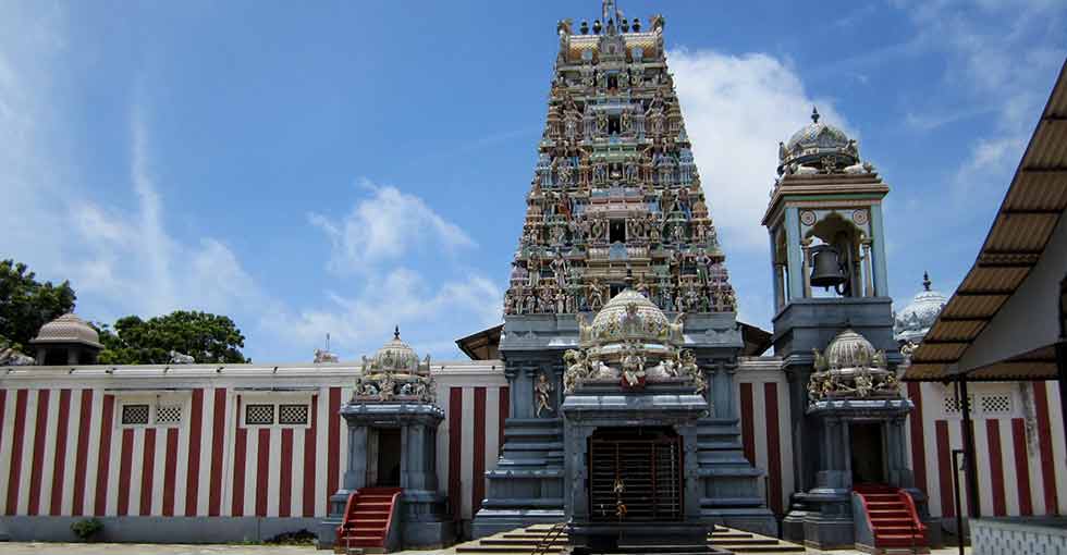
Thiruketheeswaram Kovil is one of the famous Kovils built to worship the Hindu deity Isvara. There is a legend that the Kovil was built by Mayan, Ravana's uncle, while it is also believed that Rama had worshipped at this temple before travelling to India with Seeta. Another belief among the villagers is that a Brahmin of King Vijaya had worshipped at the temple. The temple is one of the legendary sites where God Ishvara had performed many miracles. This Kovil can be reached on the A-32 road.